Home Inspiration Local Life Enfield Highway
You are not logged in. Log in / Register
Home Inspiration Local Life Enfield Highway
You are not logged in. Log in / Register

Gorgeous garden centre next to the grounds of Forty Hall offering top quality plants and seeds. It has free parking outside and is cheaper and not as busy as the other garden centres on popular Crews Hill.
Submitted by Molly
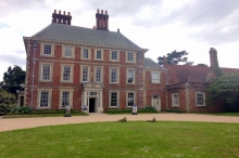
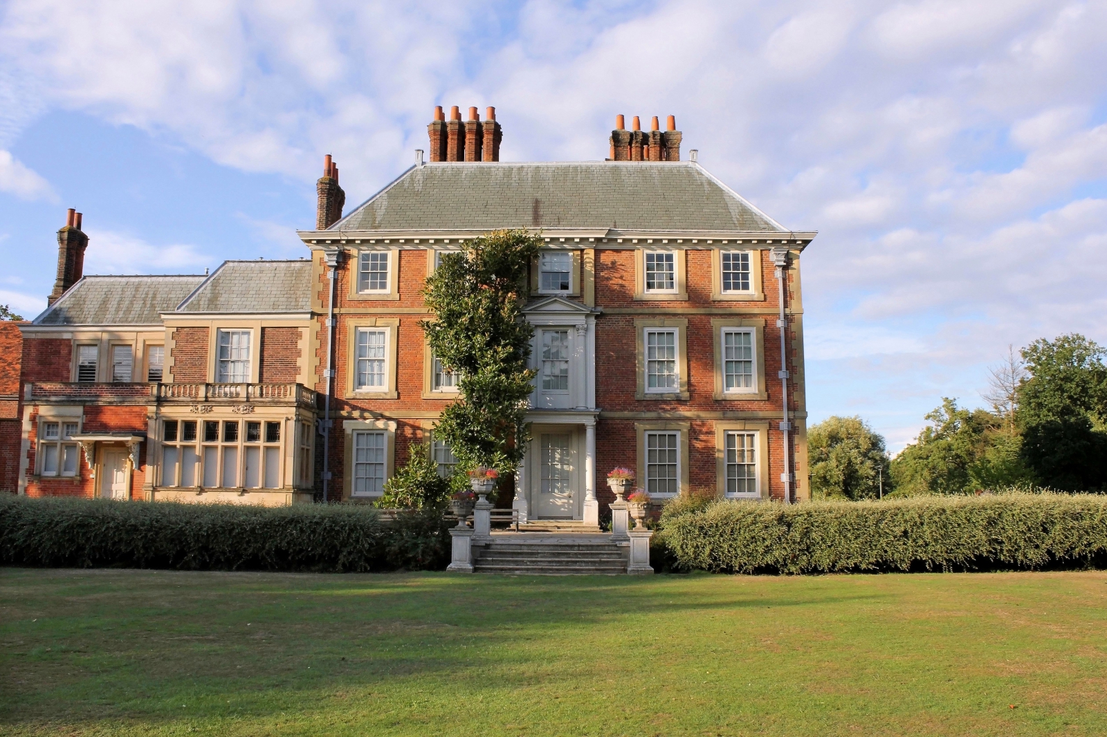
Beautiful grounds to walk around with free admission. The perfect spot for a picnic and you can also go into the hall and learn about the history.
Submitted by Molly
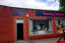
The best sunbeds in Enfield! Cheap prices and offering a wide variety of other beauty treatments. Experienced friendly staff who make you feel at ease from the moment you walk in.
Submitted by Molly
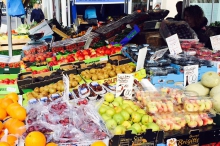
Lots of lovely fresh bread (local from Barnet), pastries, Asian food and fresh fruit and veg, every Thursday, Friday and Saturday.
Submitted by Alexandra
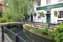
A charming pub in a beautiful area next to the New River. Lovely on a sunny day.
Submitted by Emma

This place has been serving delicious pizza and Italian comfort food since 1977.
Submitted by Emma
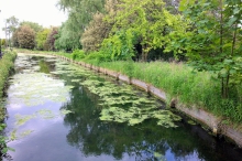
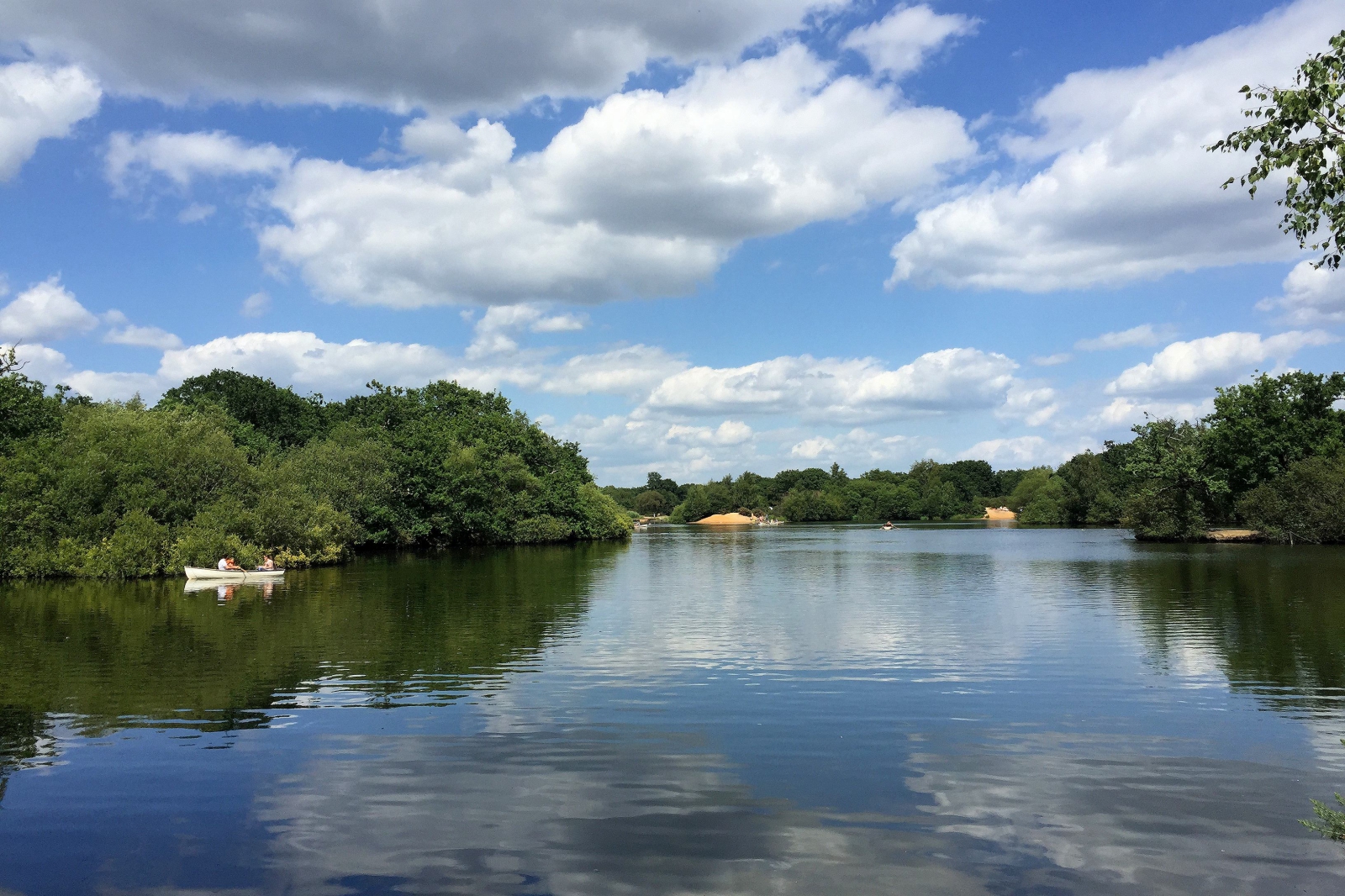
A delightful place to walk the dog and plenty of pubs to visit along its banks.
Submitted by Emma

It's reasonably priced and extremely friendly with quality food. Many regular customers so it's always a good idea to make a reservation.
Submitted by D

Cozy relaxed bar, friendly owners and staff. Great cocktails, beers, and liquor coffees. Close to Epping Forest - a great place for a walk.
Submitted by Shirley
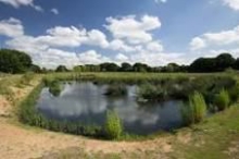
The wonderful array of wildlife. A mindfulness space.
Submitted by Friends

I love the farmers market. You can find a good variety of international food to bring home.
Submitted by Carmelo
A contemporary restaurant serving European food in the heart of Winchmore Hill. On a sunny day, ask to sit by the front so the bi-folding windows are folded back and you can people watch.
Submitted by Alexandra

A great place to pop in for an early breakfast!
Submitted by Alexandra
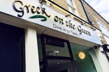
Traditional Greek food that is authentic and well priced. From kebabs, to fish, to takeaway...
Submitted by Alexandra
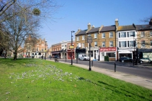
A lovely green space in the heart of Winchmore Hill. It is a great place to sit whilst watching the day pass by.
Submitted by Alexandra
Why not explore the nearby areas of Forty Hill, Enfield Town, Bush Hill Park, Chingford, Enfield, High Beach, Winchmore Hill, Grange Park, The Ridgeway and Loughton Forest
Did you know?
"The Rose and Crown pub on Clay Hill was once owned by highwayman Dick Turpin's grandparents. Turpin used to hide from the authorities there and it is said to be haunted by his ghost."
Daniel Puddick
Topsy Taiwo
Natalie Mills
What are typical prices in Enfield Highway
Latest properties for sale in Enfield Highway
Latest rental properties in Enfield Highway
Enfield Highway is an area in the London Borough of Enfield, North London. It is roughly located in the area either side of Hertford Road (Enfield Highway) between Hoe Lane and The Ride. Enfield Highway is marked thus on the Ordnance Survey map of 1822, it is a settlement mainly from the eighteenth century named from the kings highe way leading to London 1610, the highway being the Roman road Ermine Street (now the A1010 Hertford Road).
Find out how much your flat or house is worth in Enfield Highway.
Get your property valued by a local expert
Feedback about living in Enfield Highway has been submitted directly by the public and may not neccessarily reflect the views of Foxtons. The description of Enfield Highway was modified from Wikipedia and is available under the Creative Commons licence. Land Registry data is Crown copyright.
All the views and contributions contained within Foxtons Local Life are those of the contributors. All content is assessed before publishing for taste, however free opinion is encouraged. Foxtons accept no payment or sponsorship for content that is posted about Enfield Highway.
We use necessary cookies to make our website work and we'd like to use other cookies to give you the most relevant experience.
Click “Accept all” to agree to all cookies, or for more options click on “Change Settings”. For more information see our cookie policy